
.png)


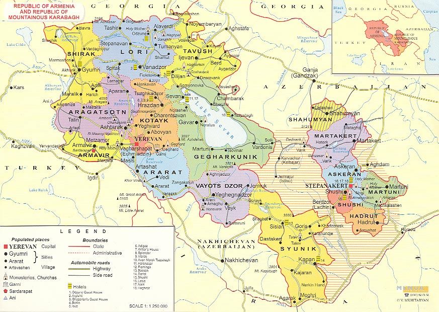
Armenia si trova all’incrocio tra Asia ed Europa nel Transcaucasia meridionale. L’Armenia confina con la Turchia ad ovest, la Georgia a nord, l‘Azerbaigian e la repubblica de facto del Nagorno Karabakh ad est, l‘Iran e l‘exclave azera del Nakhchivan a sud.
Il punto più alto è il monte Aragats (4090 m.). Il Monte Aragats è la montagna più alta dell’Armenia moderna. La capitale del paese è Yerevan.
 Informazioni generali
Paese: Repubblica di Armenia.
Superficie: 29 800 km² . si trova sull’altezza dal 1000m al 2500m. sul livello del mare e si estende intorno della valle Ararat.
Popolazione: 3.000.000.
Forma di governo: Repubblica parlamentare
Valuta: Dram armeno (AMD)
La bandiera: consiste di tre bande orizzontali di uguali dimensioni. I colori sono (partendo dall’alto): rosso, blu e arancio. In lingua armena la bandiera è spesso chiamata Yeřaguyn, “tricolore”.